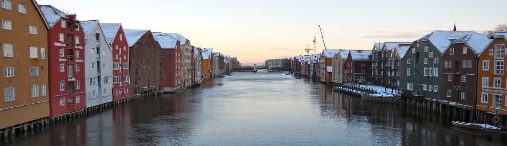
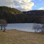
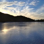
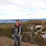
This last weekend I went on a couple really cool hiking trips. The first trip on Saturday was to Estenstadhytta. This was a pretty easy hike not too far from where I am living, but we took a really roundabout way to get there since we made a few wrong turns. Unfortunately I forgot my camera, but I was able to take a few cool pictures with my cell phone. They are the very first pictures in the gallery below. Estenstadhytta is a cabin at the top of one of the hills with a little cafe inside. We stopped there, had some coffee and hot chocolate and hung out for a while. After that we went and slid around on the ice on a frozen lake. On Sunday I went hiking in Bymarka. It is on the western side of Trondheim so it was about a 15 or 20 minute drive to get there. Bymarka is a huge park with one of the tallest mountains visible from Trondheim. The mountain is called Gråkallen. The top of Gråkallen has an old abandoned military base with some huge radar towers. They are very visible from Trondheim so I had been wondering for a while what they were. Bymarka also has tons of groomed trails for skiing. Unfortunately since it has been so long since we have gotten any snow the trails were not in the greatest shape and they were only still covered in snow in heavily forested areas. We worked our way up the mountain to the abandoned military base. On the way up we found some downhill skiing trails off in the woods that didn’t have any lifts or any trails near them. On this hill we were able to get a good view of Trondheim, but we still weren’t even close to the top. At the top of the mountain we had an incredible view of Trondheim and all of the mountains for miles in every direction. The military base was open so we also explored one of the bunkers near the entrance. Most of the pictures are looking different directions from the top of Gråkallen. The map below shows the peak of Gråkallen.
-
- On the way to Estenstadhytta
-
- On the way back from Estenstadhytta
-
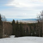
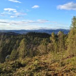
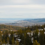
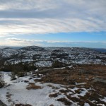
- The first place we could see above the trees to get a view of Trondheim. Still a long way to go to the top
-
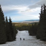
- We were wandering through a small trail in the woods when we found this downhill skiing trail

-
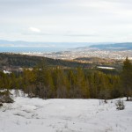
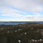
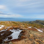
- A clear view of Gråkallen
-

- Getting close to the top

-
- Near the abandoned military base
-
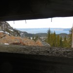
- Looking out of the bunker
-
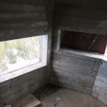
- Inside the bunker
-

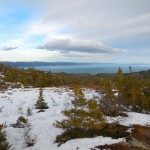
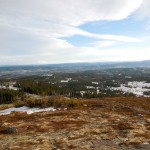
- Trondheim from the top of Gråkallen
-

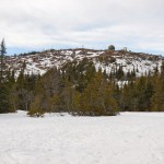
- I don’t really know what exactly this was talking about, but I guess there used to be a cabin at the top
-
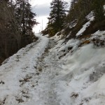
- The trails on the way down were really icy…
-

- Gråkallen had an abandoned ski hill up one side. The lift was broken and it barely had snow. It was a tricky climb down the hill.